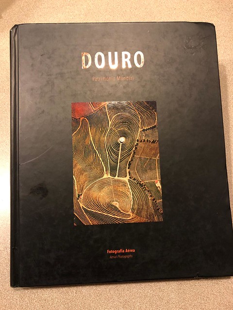
I was poking around online when I saw this Douro book that I had never seen before. The book is "DOURO - Patrimonio Mundial - Fotographia Aerea". The price was low, so I ordered it. It arrived today and I was blown away! The entire book is of aerial photographs of the Douro demarcated region. There a few explanations in both Portuguese and English, but otherwise the photos stand on their own. The book was published in 2003, so it's just before a lot of changes happened in the Douro. I've been in the Douro enough to recognize the location of many of these photos. I can stare at it forever. It certainly brings back the feeling of actually being there.
Has anyone else seen this book?
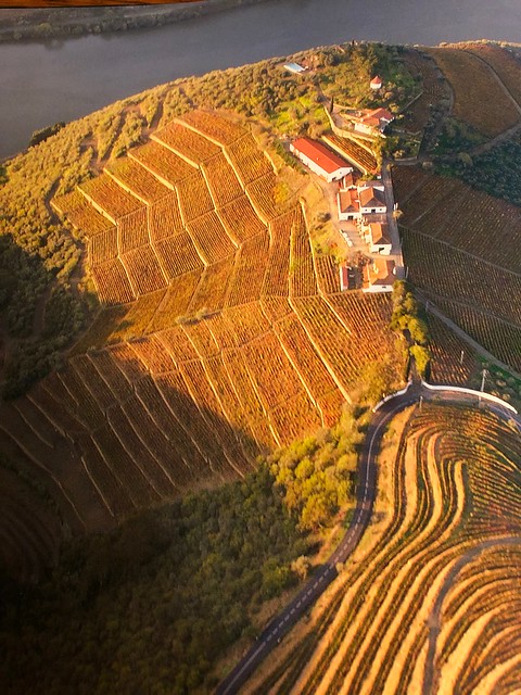
Quinta do Crasto before they built the new modern cellar. The steep vineyard to the left of the buildings is Vinha Maria Teresa:
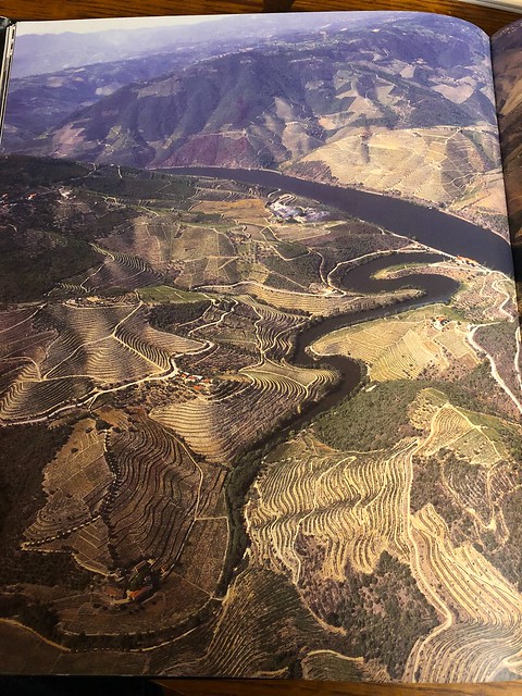
The Tedo River - Quinta do Tedo is at the confluence and I believe that Quinta de Napoles (Niepoort) is there before the building of their new cellar. Also what is now Bulas (Quinta da Costa de Baixo) across the river:
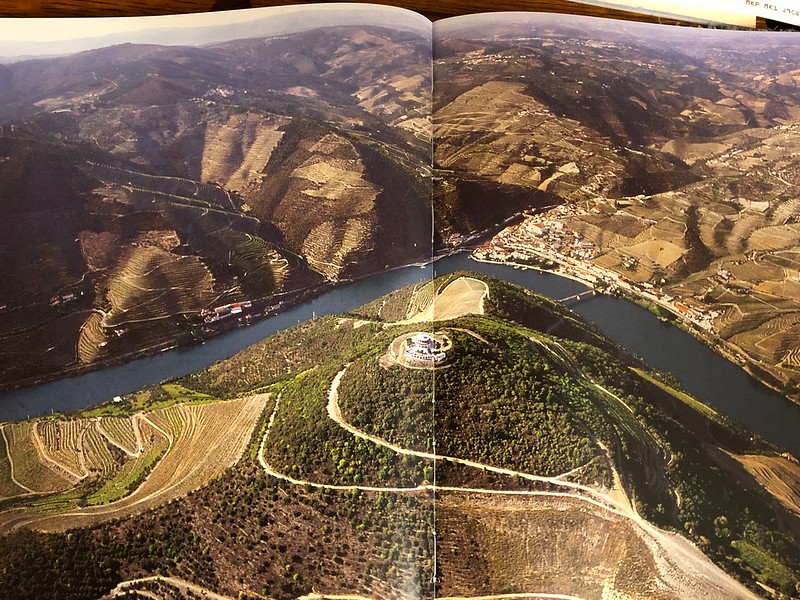
Pinhao with the "Round House" in the foreground: